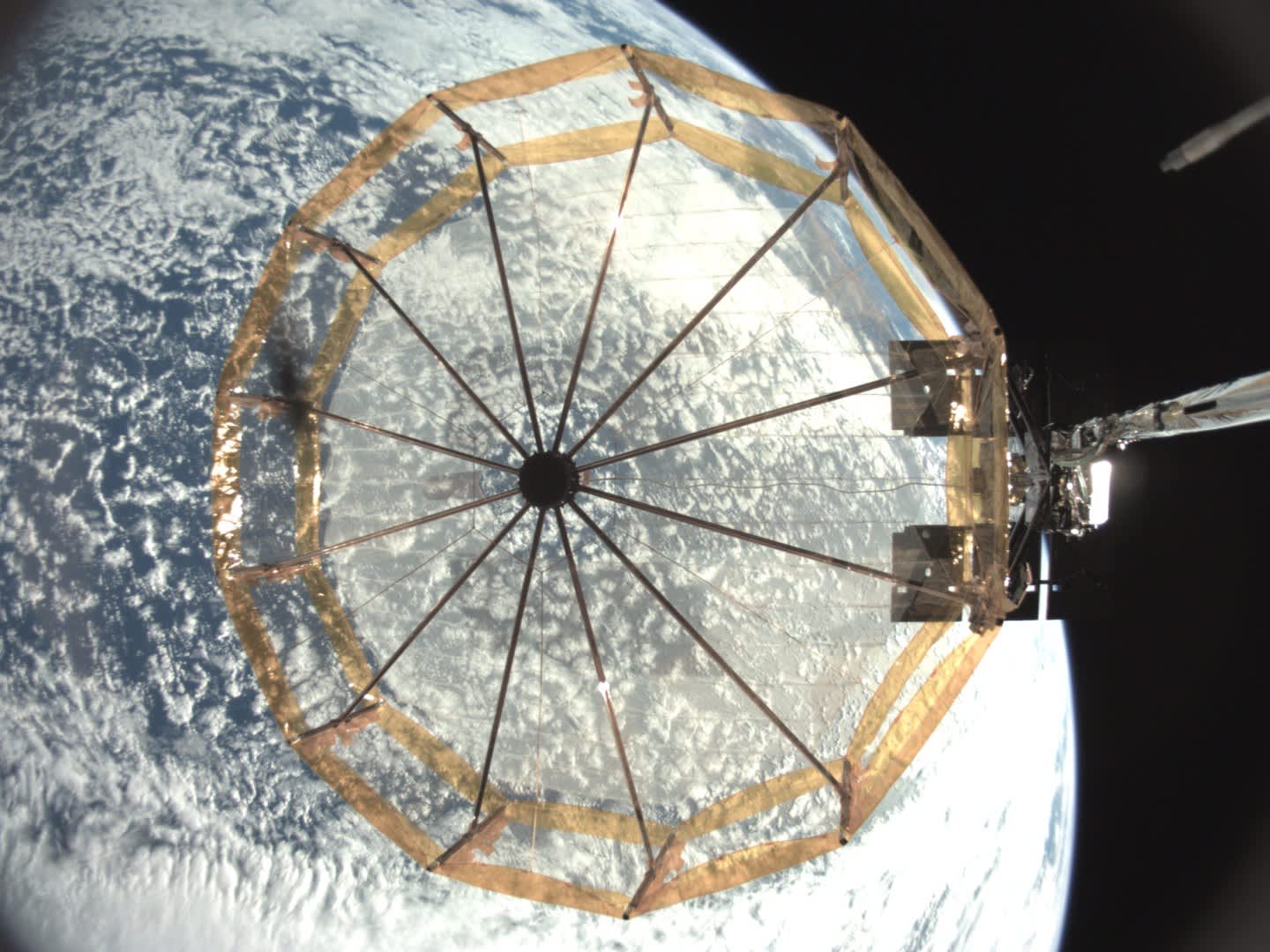
Satellite imagery specialist Capella Space on Thursday released the first images captured by its two latest spacecraft launched in January.
The firm is trying to tap part of an Earth intelligence market it estimates is worth about $ 60 billion.
Capella’s business is based on combining a special type of imagery with a small, inexpensive spacecraft. The company is building a network of satellites that can capture images of places on Earth multiple times a day.
The imagery — known as synthetic aperture radar — allows Capella’s satellites to capture images at any time, even at night or through cloud cover. The company plans to use its technology to capture part of the government-focused market of intelligence, surveillance and reconnaissance, CEO Payam Banazadeh told CNBC.
He estimates this so-called intelligence, surveillance and reconnaissance section accounts for two-thirds, or $ 40 billion, of the total Earth intelligence market.
“A third of that is [space-based] as of today, but what’s happening now is a rapid, really exponential growth in Earth observation and with capabilities like SAR,” Banazadeh said.
San Francisco-based Capella has raised about $ 100 million since its founding in 2016 and has around 100 employees. The company has three satellites in orbit and plans to launch four more by year-end.
Capella is not alone in the radar imagery market. Finnish start-up Iceye is also working on a network of satellites, with 10 launched to orbit. And while Capella has the upper hand in the government market as it’s based in the U.S., Iceye announced plans to expand from Finland and Poland with a new U.S. satellite factory.
The SAR difference
The company released the first high-resolution images from its Capella-3 and Capella-4 satellites, which launched with about 140 other spacecraft on SpaceX’s Transporter-1 mission in January.
The new images show the Rybachiy nuclear submarine base in western Russia, the “Temple of Heaven” buildings in Beijing and the “India Gate” in New Delhi.
Banazadeh said this imagery has multiple advantages over standard optical imaging satellites, like those of Maxar Technologies or Planet Labs. For starters, it isn’t blocked by clouds or darkness.
“You can have thousands of optical satellites, but you’re only limited to 25% of Earth,” Banazadeh said. “We have access to the entire Earth, all the time.”
The other “big factor” is that the radar-based system “is a coherent active measurement system,” Banazadeh added.
That means the radar signals sent out by the satellites and reflected off the ground have “information hidden” that includes characteristics of what is in the image. The signal then comes back differently “based on the material, the texture, and the moisture,” he said.
Capella’s satellites deliver imagery with a 50-centimeter resolution – meaning each pixel in the image represents a 50-by-50 centimeter piece of the ground. So a car, which would be 4 meters by 2 meters, would be shown with eight pixels by four pixels.
The government market for radar imagery
Capella initially wanted to focus on commercial marketplaces — such as the insurance, energy and agricultural sectors — but the majority of the market is dominated by the U.S. government and its allies.
“The biggest customer of geospatial imagery in the world is the U.S. government,” Banazadeh said. “That’s where the big opportunity in the short term is and it’s a massive market [with] unmet demand.”
In-Q-Tel, the venture capital firm funded by the CIA, was one of Capella’s early investors. On Thursday, the company announced an expanded partnership with In-Q-Tel, which Banazadeh says will see Capella deliver “services and products through In-Q-Tel” to its customers.
You can have thousands of optical satellites, but you’re only limited to 25% of Earth. We have access to the entire Earth, all the time.Payam BanazadehCEO, Capella Space
Tom Gillespie, In-Q-Tel managing partner of investments, said in a statement that the firm is “excited about the capabilities offered by Capella’s newest systems” in orbit.
“We look forward to working with the company to help our government partners address their enduring need for reliable and repeatable imagery, despite poor weather, for applications that include disaster relief and environmental land use,” Gillespie said.
Automated analytics
The other key aspect of Capella’s offering is the turnaround time for its imagery: From the time a client requests an image, how long does it take the company to capture the photo and return the requested analytics?
“I sometimes joke that, with some of the Earth observation companies, it’s faster for [a customer] to jump on a plane, pay 4,000 bucks for a business class flight over the place that you want to take a look at, literally take a look from the window, and then come back,” Banazadeh said.
“On average we can get that data down within 20 minutes or so from the time that it actually gets collected,” he said.
Capella has partnered with Amazon’s AWS for data storage, processing and even ground stations to return data from the satellites.
Capella expects to have collected about 10 petabytes of data from its satellites by the end of the year. For context, Banazadeh compared that to Facebook generating about four petabytes of data a day.
While Capella captures only a fraction of that for now, Banazadeh expects that by 2025 his company is going to collect at rate of about 480 petabytes per year.
Amazon then will “scale with us,” he said, removing the need for Capella to build its own data processing services.
The growth strategy
Capella is vertically integrated — designing and building its own satellites, operating them in space and then connecting to customers through its software platform and analyzing data it receives.
Capella will continue to build and launch satellites as it sees demand grow, he added.
“Our tech has been validated, our market has been validated, our product has been validated, we’re generating revenue from assets that we have in space — and so the next phase of the company is really scaling up and growing,” Banazadeh said.


