BANGKOK: A request by Australian authorities for Google to remove photographs of the top of a sacred indigenous site has sparked a debate on how to better protect such places and whether mapping tools are increasing privacy and conservation risks.
Parks Australia, which is responsible for the national park where Uluru is located, last month objected to the Google Street View tool that allowed users to virtually walk on its summit – which was closed to tourists in 2019 after a decades-long campaign by indigenous communities.
The images that were considered to defy the ban were contributed by users, and were removed, a Google spokesman said.
“We understand Uluru-Kata Tjuta National Park is deeply sacred to the Anangu people,” he said. “As soon as Parks Australia raised their concerns about this user contribution, we removed the imagery.”
While most of the nearly 20 million contributions to Google Maps each day are “really helpful”, there are some that violate policies, he said, adding that more than 10 million photos and 3 million videos were removed last year.
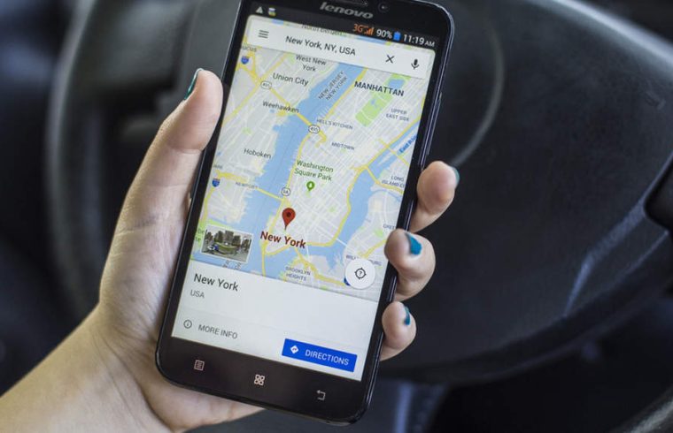
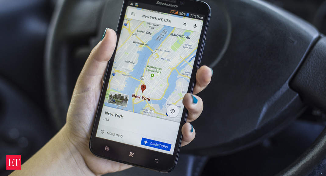
Governments and technology companies are mapping much of the Earth with satellite imagery, drones and virtual reality to modernise land records or for virtual tours.
But in doing so, they may be putting indigenous communities or those living in informal settlements at greater risk of eviction, illegal logging and other threats, human rights campaigners and mappers say.
“When we train indigenous communities on mapping, we tell them: ‘remember this data will be public, so think carefully about what you want to add’,” said Harry Machmud, head of the non-profit Humanitarian OpenStreetMap Team in Indonesia.
“If there is a sacred forest or community land they want to keep from public view, or community borders that are sensitive – perhaps those should not be updated on the maps,” he said.
Technologies such as virtual reality (VR) and augmented reality (AR), which use cameras, microphones and other sensors also inevitably collect data that can be misused, said Rory Mir, an organiser with digital rights group Electronic Frontier Foundation.
“We are talking about thousands of photos and videos being aggregated by a central service, and allowing for the tracking of individuals,” Mir said.
Companies such as Google blur faces and licence plates to protect privacy. But there are “many other ways to identify individuals, from their gait to their tattoos”, said Mir, adding that there must always be an option to request removal of data.
“Users should be in full control of how their private spaces are recorded, and how this data is used,” Mir told the Thomson Reuters Foundation on Monday.
“Without meaningful user consent and restrictions on the collection, a menacing future may take shape where average people using VR and AR further proliferate surveillance in public and private spaces.”